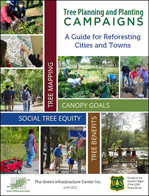
 Learn how to plan for and plant trees across cities using the right data, partnerships and budgets. Features case studies from across the southern U.S. and compelling arguments for funding urban forests. This guide provides the arguments for analyzing tree canopy coverage locations, tree condition and strategies for a community-wide strategic approach to tree conservation. Even if you — the reader — are an experienced arborist or forester, you may need better or different arguments to move a city council or county board to take action for tree planting or retention. Tree care professionals may not know how to obtain citywide data on tree coverage, while data managers may not understand how to engage field staff in reviewing and applying data to on-the-ground decision making. This guide bridges those gaps so that agencies, departments, tree care groups, tree professionals and elected officials can work better together to get the right data and make more informed decisions for our urban forests.
View or download the book here.
Publications
South Carolina’s Statewide Green Infrastructure Plan
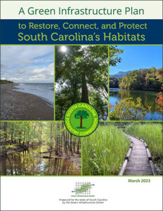
 See the new priority habitat cores and corridors to support the state’s wildlife and outdoors. GIC built a statewide habitat model and maps all 10 planning regions. To stem the loss of South Carolina’s natural resources and to ensure that the landscape is resilient, the South Carolina Forest Commission and GIC launched a statewide strategic planning effort to map key, large habitat areas known as core habitats and to identify and plan for their connectivity. The more connected the landscape is, the more resilient it is to disturbance, since areas damaged by storms or floods can repopulate more quickly if species can reach these areas through natural landscape corridors. The statewide planning work has Project BackgroundThe GIC created a statewide map of large forest and wetland habitats in 2015, as well as a guide Evaluating and Conserving Green Infrastructure Across the Landscape: A Practitioner’s Guide1, which describes the importance of habitat cores and how to plan for their conservation. This report does not replace that guide. Those who wish to learn more about GI planning can obtain the free guide at the link below. This project is an update to the original map and a strategic plan for actions and strategies that South Carolina can employ to conserve its highest value landscapes for both wildlife and people. Since 2015, the landscape of South Carolina has changed as intact forested land cover has declined. In addition, more species are now at risk. For example, the U.S. Forest Service listed the Northern Long Eared bat as an endangered species in November 2022. This bat has mostly disappeared from the upstate but has been found in Charleston and Berkeley Counties, both of which are experiencing tremendous growth pressures, putting the bats at greater risk. To prioritize the landscapes to conserve for the future, GIC has created an updated resulted in this green infrastructure strategic plan, which provides new tools and planning strategies for use by state agencies and regional and local governments and conservation organizations to maximize landscape conservation and connectivity.
You can view or download the South Carolina Green Infrastructure Plan Report here.
Prepare and Recover the Urban Forests from Storms
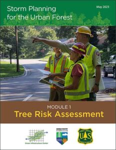
 See our three new guides on Tree Risk Assessment, Standing Contracts and Debris Management to meet FEMA requirements and ensure communities are ready for the next storm. A Community Forest Storm Mitigation Plan can be made part of the community’s existing emergency plan or can be a standalone plan. Such a plan should focus specifically on ways to avoid or mitigate the damage trees may cause during a storm or other catastrophic event.
Tree Risk Assessment: Get ready for storms by first identifying and treating risky trees and limbs to reduce storm damages and tree failure later.
Standing Contracts: Prepare advance or standing contracts to ensure you have the most qualified professionals to help you during a disaster and ensure faster cleanup
Debris Management Sites: Be ready to manage the significant debris from a storm so that roads and emergency services can be cleared and ready to function faster.
Resilient Coastal Forests, Virginia Report
 The Green Infrastructure Center (GIC) and the Virginia Department of Forestry (VDOF) released a joint study of the benefits and threats facing Virginia’s coastal forests,“Resilient Coastal Forests of Virginia, Overcoming Challenges and Implementing Strategies for a Better Future.” Funded by the USDA Forest Service’s Southern Region, the GIC and VDOF assisted coastal counties and cities with mapping their coastal forests, modeling benefits and evaluating threats they face along with strategies to mitigate or reverse impacts.
The study looks at threats facing forests in an area that includes six of Virginia’s coastal counties,six towns and two cities. Urban, suburban and rural trees and forests are susceptible to climate damage and were modeled alike. Threats examined include large wildfires, climate change, storms, pests and disease, and land conversion to development or utility-scale solar. [Read more…] about Resilient Coastal Forests, Virginia Report