Green Infrastructure Center, Inc.
GIC maps natural assets to create green infrastructure plans and green prints.
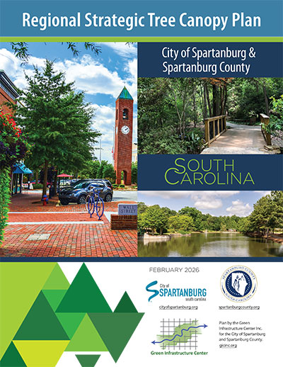
Spartanburg Tree Canopy Plan
This plan for the region of Spartanburg, South Carolina (city and county) is the culmination of a year-long planning process that included joint workshops and strategic planning sessions led by the Green Infrastructure Center Inc. (GIC) with city staff, county staff, non-profit leaders and community partners. The extent of the urban forest and forest land cover was determined by analyzing aerial imagery to map the region’s land cover. Open space was evaluated to determine the Potential Planting Area where future trees might be planted, along with assessments of the environmental and social benefits the city’s and county’s trees provide. Strategies for retaining, protecting, and restoring tree canopy coverage were created by a regional stakeholder committee composed of local government, the water utility, and various nonprofits focused on trees, active recreation and economic development. The data and strategies in this plan can serve as a foundation for building a robust forest management program to ensure a green, healthy, and beautiful future for the region.