Green Infrastructure Center, Inc.
GIC maps natural assets to create green infrastructure plans and green prints.

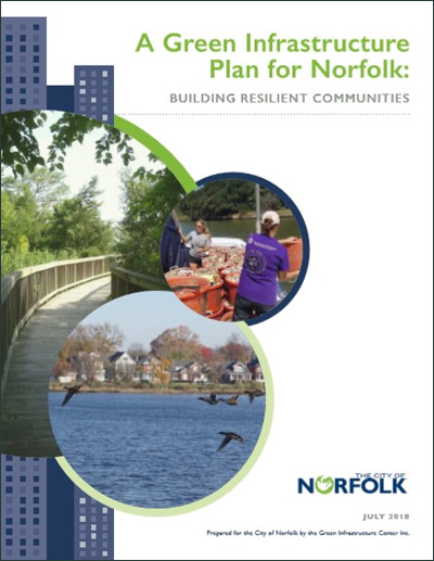
A Green Infrastructure Plan for Norfolk
In July 2018, the GIC completed a two-year project to map and evaluate the city of Norfolk’s green infrastructure and to create strategies for making the city more resilient in the face of a changing climate. Located in the Hampton Roads area, Norfolk sits in the second most threatened landscape for sea-level rise and increasingly extreme weather events. The plan evaluated both current green infrastructure (trees, water, wetlands and other habitats) and marsh- and forest-buffer migration as sea level rises. This strategy was created in onjunction with the city’s Watershed Task Force and is the first of its kind to link current and future GI planning in the face of climate change.
Back to Resources