Green Infrastructure Center, Inc.
GIC maps natural assets to create green infrastructure plans and green prints.

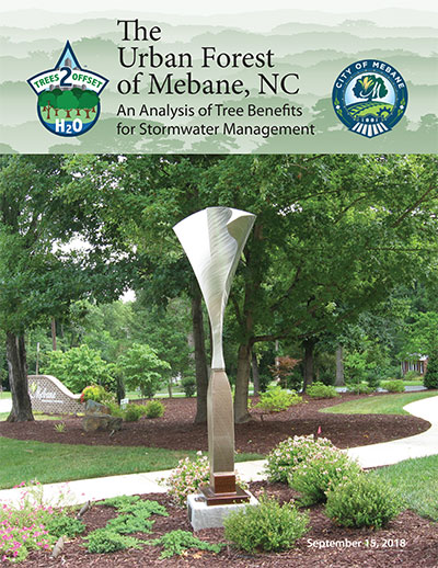
The Urban Forest of Mebane, NC
This project mapped the urban forest of the City of Mebane, North Carolina and evaluated the role that tree canopy plays in intercepting and taking up stormwater
and reducing water pollutants, such as nitrogen, phosphorus and sediment.
This report describes the city’s current canopy coverage, (38.7%) the method used to map the canopy, an analysis of the canopy’s stormwater uptake and an analysis for where the city can plant more trees to expand the urban forest where it is lacking. The report includes:
• Analysis of the current extent of the urban forest through high resolution tree canopy mapping,
• Possible Planting Area analysis to determine where additional trees could be planted, and
• A calculation for stormwater uptake and pollution removal by the city’s tree canopy.
A next step for the city is to review its relevant city codes and ordinances using GIC’s policy analysis tool and to create an urban forest management plan to better
care for and replant the city’s canopy. The purpose of this report is not to seek a limit on the city’s growth, but to help the city better utilize its tree
canopy to manage its stormwater.
The City of Mebane can use the results to:
• Evaluate how to integrate trees into the city stormwater management program;
• Understand how the urban forest benefits Mebane;
• Learn why the city should continue to undertake tree planting and management.
Back to Resources