—for wildlife and people.
Did you know that well connected landscapes are healthier for people, pollinators, birds, wildlife, amphibians and all native creatures? The more connected the landscape, the more resilient it is to disturbances and the quicker it can recover! Pathways allow animals, plants and pollinators to migrate and find food, shelter and mates.
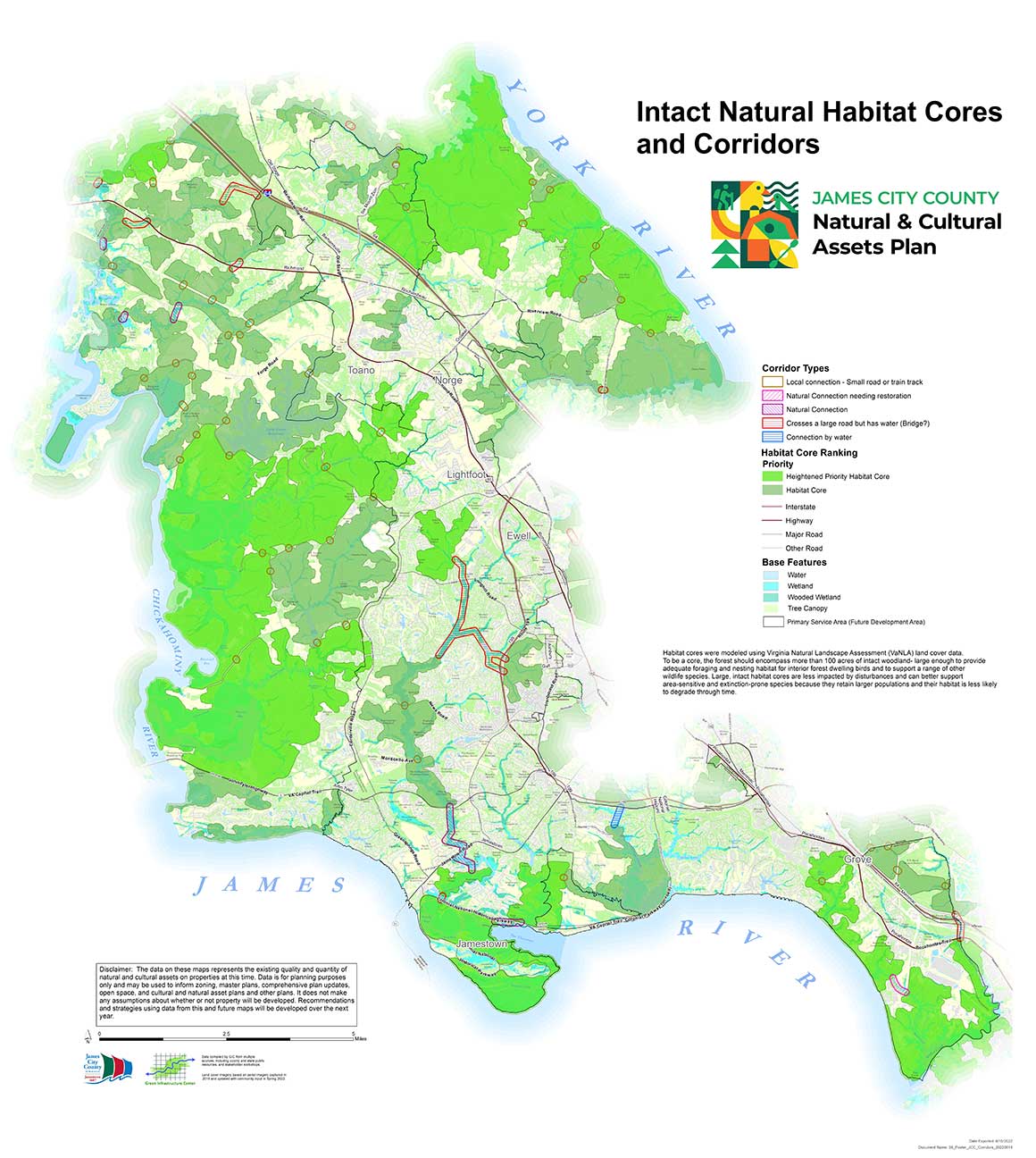
 Cores and Corridors
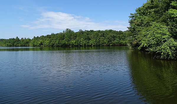
We call these natural landscape features our “green infrastructure” because they include forests, prairies, wetlands, lakes, streams and bays that provide us with food, shelter, recreation, flood mitigation, and recreation too! We need to plan for our connected green infrastructure just as we plan for the grey infrastructure of roads, pipelines and storm drains. Many people have heard of green infrastructure referred to as best management practices such as bioswales or green roofs. This is constructed green infrastructure. We can use constructed green infrastructure after we protect as much of the landscape’s natural features as possible. After all, nothing soaks up more water or cleanses the air better than a real mature tree! If you want to learn more about the history of green infrastructure read our short history here! Download here. See the Methods page to learn more about how to plan for intact connected landscapes for wildlife and people!
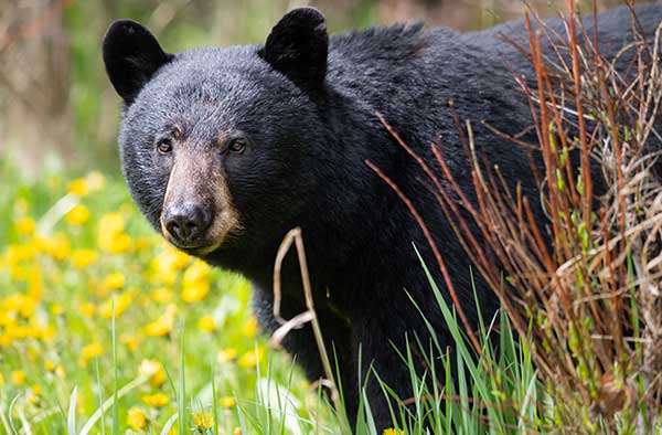 Protecting large landscapes and connecting them can prevent common species from becoming uncommon or even endangered. Connectivity is key to supporting species’ diversity. At least 539 species in the U.S. have gone extinct in the past 200 years and while some species are doing better, many more species will likely be listed as threatened or endangered. While we should protect and recover species for their own sakes, it also makes economic sense too. Outdoor sports such as hunting, fishing and wildlife watching together bring in $108 billion in annual revenues.
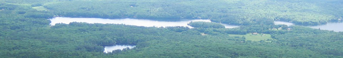
 GIC maps large intact landscapes at multiple scales from counties to cities to towns and sites. When an intact landscape is large and intact with native landcover we call that a habitat core. In the eastern U.S., interior forest birds need 100 acres of intact landscape to nest and forage while in the western U.S. some larger mammals such as a cougar need more than 50 square miles of area for its territory. GIC analyzes natural landcover and other environmental factors such as the presence of streams or soil diversity to determine the quality of large intact landscapes.
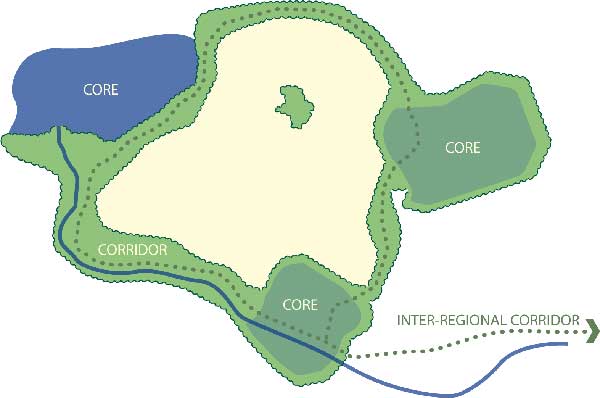
We call these large intact landscapes habitat cores. GIC maps and models these lands to determine their suitability to support a diversity of native species.
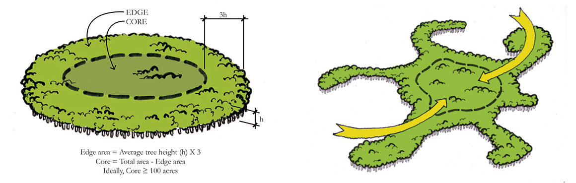
 Corridors connect these natural landscapes and foster biodiversity by allowing species to move across the landscape to new areas and find food, shelter and mates. People also can often use these corridors for recreation such as for greenways, to access scenic areas or to hike, hunt, fish, or sightsee. GIC maps these corridors to determine if the landscape is well connected. If corridors are lacking, they can be restored by planting trees or other native landcover to provide options to reach new habitats. The closer habitats are, and the better connected they are, the more likely species will be abundant and healthy.
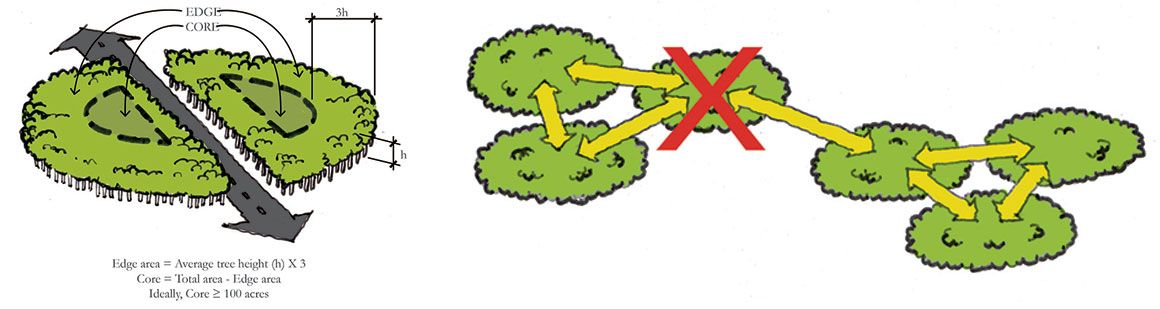
When corridors are lost or habitats are destroyed by storms or development, species may not be able to reach these areas to repopulate them and areas decline over time. Roads can also bisect areas making them too small to support native populations. We can plan our transportation to avoid high value habitat areas and also use mitigation dollars to restore areas that have been lost and to build wildlife tunnels or bridges to increase crossing safety.
To learn more about our six-step process for green infrastructure planning see our Methods page.
Urban Green Infrastructure
Of course, green infrastructure is not limited to “natural” or pristine areas. Green infrastructure plans can be created for urban cities or rural counties. Green infrastructure planning helps communities develop in ways that maximize healthy habitats for people and wildlife.
Want to learn more?
See the examples of projects below and get a copy of our books on green infrastructure mapping and planning. To learn more about doing this work in urban landscapes visit our Green Cities page and see the Resources page where you will find many tools for conducting this work.

 • James City County, VA
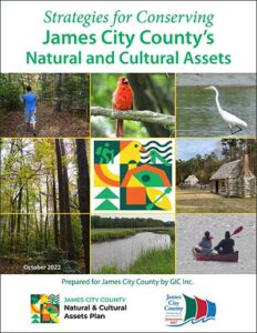
Strategies for Conserving James City County’s Natural and Cultural Assets (pdf)
 • Ulster County, New York
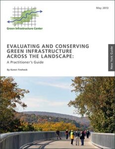
Evaluating and Conserving Green Infrastructure Across the Landscape: A Practitioners Guide (pdf)
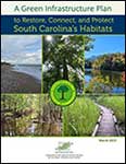 • South Carolina
A Green Infrastructure Plan to Restore, Connect, and Protect South Carolina’s Habitats (pdf)
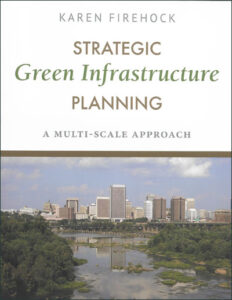
If you are a planner, community member or conservationist get our planning book published by Island Press.
Strategic Green Infrastructure Planning:A Multi-Scale Approach
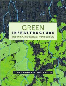 If you are a GIS analyst
and you want to understand the data and how to use it in analysis get our GIS book published by Esri Press:
Green Infrastructure: Map and Plan the World With GIS
![]() Check out the on-line portal to landscape-scale maps of green infrastructure across the United States here. GIC helped Esri build this model for the entire country.
Check out the on-line portal to landscape-scale maps of green infrastructure across the United States here. GIC helped Esri build this model for the entire country.
https://www.esri.com/en-us/industries/green-infrastructure/plan