—for healthy people and robust economies
The greener a city is, the healthier it is for wildlife, amphibians, birds and people!
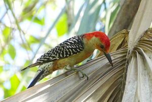
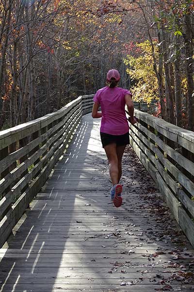 Did you know that people walk longer and farther when landscapes are greener? So, greening cities also causes people to be more fit! Animals also benefit from greener pathways and tools such as wildlife tunnels or bridges can help ensure wildlife stay off roadways, thereby improving safety for both animals and people.
But cities are not trending greener generally. Recent national data show urban and suburban tree canopy cover is trending downwards at a rate of about 175,000 acres lost per year – approximately 36 million trees annually. As these trees are lost, so are the benefits they provide – an economic loss of $96 million per year (Nowak and Greenfield 2018). We need concerted efforts to restore natural vegetation to our cities to make them greener, cleaner and sustainable.
We create city green infrastructure plans or green prints
to help cities chart a greener future!
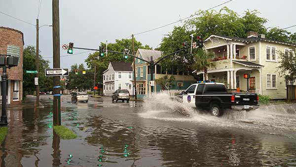 Does it seem like floods are happening more often? They probably are!
- More runoff: Cities, towns and counties are becoming more impervious = more runoff
- More extreme weather events: We now use the term “rain bombs” to refer to high intensity, short duration storms.
- Hotter: More pavement and more days of sun = hotter cities. This creates “micro-climates” where it actually now rains more in cities! One acre of paved land releases 36x more runoff than a forest so the amount of paved areas in cities affects the amount of flooding too!
- More flooding: Many cities will have more hot days which could mean even more flooding.
What can you do? Create a green infrastructure plan —
a green print — to regreen your city!
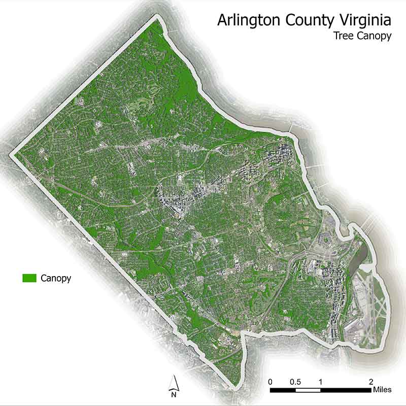
Mapping Tree Canopy
GIC helps to green cities by first mapping all the vegetation (trees, shrubs, grass) and water features (wetlands, lakes, rivers, and bays) and impervious surfaces (roads, buildings, sidewalks and parking lots) so we know what is green, blue or grey. Next we consider all the options to re-green the city – tree planting, wetland restoration, living shorelines, new parks, vacant lot conversions, changing pavement to parks and much more.
Mapping those places shows a city or town which options to consider. We also map access to nature by race and population – does everyone have equal access to nature for social and physical health? How many people can access a park with a 10-minute walk? Past practices of redlining (restricting access to neighborhoods by race) and racism generally meant that many communities lack equal access to greenspace today.
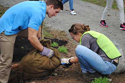
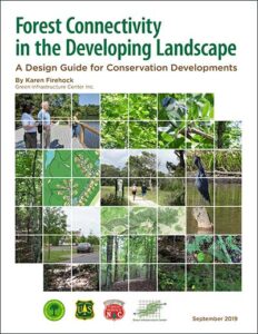
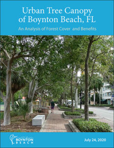
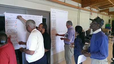 Once all these assets and opportunities are uncovered and mapped, GIC leads communities through a collaborative process to choose their new futures resulting in Green Infrastructure Plans, Urban Forest Master Plans, Park Plans (sometimes on converted abandoned lots), Arboretums, Conservation Subdivisions and other green plans. See examples of these types of plans below.
If your city or town is located in Virginia, South Carolina, Rhode Island or Mississippi,
contact GIC about our Adopt-A-Greener City program to see if your town can be supported with FREE technical support and tree planting!
Contact GIC .

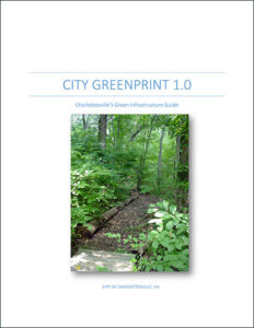 Small City Green Print: Charlottesville, Virginia
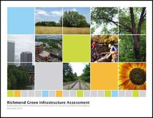 Richmond VA: Multi-scale planning from city to neighborhood to sites.
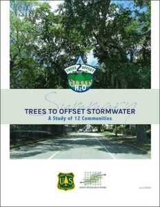 Trees and Stormwater:
A Study of 12 Communities
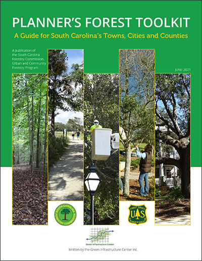 Planner’s Forest Toolkit:
A Guide for South Carolina’s Towns, Cities and Counties
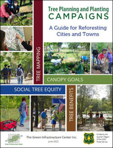 To learn more about how we do this work and ideas for how to get more trees planted in your community download our free Tree Planning and Planting Guide. Our tree campaign guide is based on 15 years of testing and has all the arguments and methods for citizens and policy makers to break through; moving from wishes to direct action. This guide features our work and your work too! Funded by the USDA Forest Service, our guide highlights the best methods, tools and tips from community-based urban forestry groups. It also explains how to convince local officials, community members, your supervisor or your neighbors why and how to plant more trees and prevent more trees losses. It also tackles mapping urban heat islands, working in diverse communities and using the right data to make the case for urban forests! It’s free and worth a read! You will find practical advice from our decades of urban forestry work.
