
Excessive stormwater runoff accounts for more than half of the pollution in America’s surface waters and causes increased flooding and property damages as well as public safety hazards. The Green Infrastructure Center joined with six states to study how urban trees mitigate stormwater runoff.
 Trees to Offset Stormwater
Funded by the US Forest Service’s Southern Region, the GIC and the 6 states (VA, NC, SC, GA, FL, and AL) were awarded funds to provide cities with technical assistance to achieve this goal. The project shows how cities can utilize their urban forests as a vital tool for managing and reducing stormwater runoff.
National studies indicate that land conserved for stormwater retention and flood prevention “show an eight-to-one dollar savings ratio versus man-made flood-control structures” (McDonald 2015). Cities need to better integrate trees into their stormwater management programs.

Valuing the benefits of the urban forest helps us to better understand the contribution of trees to the ‘ecosystem services’ that trees provide such as cleaner water, air, shade, and stormwater uptake and aesthetic values. An important feature of ecosystem services is that they often provide cost savings over the construction and use of traditional grey infrastructure. But, while the benefits of trees are well known, most cities do not include trees as a component of their stormwater management strategies.
One urban tree can intercept thousands of gallons of water annually.

Participants
Eleven cities and one county were selected to participate. They include localities of large, medium and small densities and are found in the mountains, the piedmont and the coastal plain. Participating localities are innovators for effective, greener stormwater management. There is a case study booklet for each pilot locality detailing the project, methodology, lessons learned and best practices for other cities that wish to do this work. You Can View and Download the TSW Community Reports in the Projects and Resources Section Below.
You can view the Summary Report here.
• The Town of Apex, North Carolina
• City of Wilmington, North Carolina
• Orange County, Florida
• City of Miami Beach, Florida
• City of Jacksonville, Florida
• City of Norcross, Georgia
• City of Alpharetta, Georgia
• Harrisonburg, Virginia
• Lynchburg, Virginia
• Norfolk, Virginia
• Charleston, South Carolina
• Auburn, Alabama
The Trees to Offset Stormwater Summary Report and Individual City/County Case Reports:
Check out our Resources Page to see our many planning books authored by GIC!
TSW TOOLS:

Each tool below can be used to evaluate your city or county’s tree protection and to determine how to make your city more pervious to reduce stormwater runoff and for managing your urban forest.
A sample stormwater calculator tool is provided for one city to practice using the tool. For a new city, data needs to be generated for land cover to provide inputs to use the calculator tool spreadsheet. Technical instructions are provided below. To create a new calculator tool for a new city, land cover must be created and Geographic Information Services (GIS) knowledge is needed to create data to populate the tool. GIC may also be hired to create data for a city or a city can create such data using the instructions below.

County
Policy and Practices Audit Tool to evaluate urban runoff
(for adding or losing tree canopy).
• TSW Codes Ordinances Review Tool — for evaluating urban codes, policies and practices to learn which practices or policies make the city more impervious or pervious. Requires collecting and scoring policies for a city to determine opportunities to increase infiltration and to utilize trees for stormwater management and other benefits.
• Download the TSW_Codes_Ordinances_Review_Template (xlsx file)

Setting Up Data for Your City
to Use the Stormwater Uptake Calculator Tool
Technical Instructions to set up the calculator tool to use with your land cover data – the calculator tool requires classified land cover to use. To determine how much stormwater trees take up for different storm events (e.g. a 10 year storm of rainfall over 24 hours) the spreadsheet tool requires that the land cover is assessed (what areas are forested, what areas are paved etc.) This technical manual explains how to import the data. A sample calculator is provided below. GIC also offers a simple tool to create land cover.
• Download TSW Technical Instructions here (pdf)
• Link to: YouTube Trees and Stormwater Training Videos.
• TSW Calculator — Blank Spreadsheet (xlsx file)
• Example TSW Calculator Tool (xlsx file)
Comments or questions?
Contact GIC at 434-244-0322 or

 Alpharetta Trees to Offset Stormwater
  Apex Trees to Offset Stormwater
  Auburn Trees to Offset Stormwater
 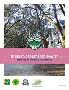 Charleston Trees to Offset Stormwater
 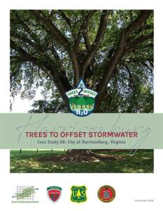 Harrisonburg Trees to Offset Stormwater
 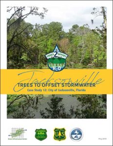 Jacksonville Trees to Offset Stormwater
 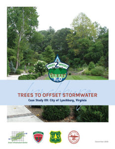 Lynchburg Trees to Offset Stormwater
  Miami Beach Trees to Offset Stormwater
  Norcross Trees to Offset Stormwater
  Norfolk Trees to Offset Stormwater
  Orange County, FL, Trees to Offset Stormwater
  The Urban Forest of Mebane, NC
  Trees To Offset Stormwater Summary Report
  Wilmington Trees to Offset Stormwater