Making cities cooler, cleaner, and more resilient!
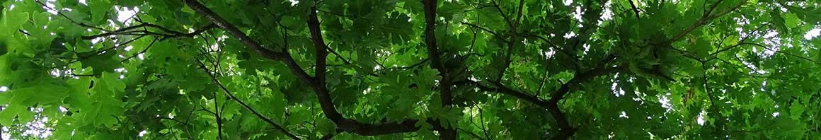
 In cities, trees are primary natural assets that function as our green infrastructure. One mature tree can absorb thousands of gallons of stormwater runoff while also cleansing the air of particulates, volatile organic compounds and chemicals that cause global warming. Do urban trees really make a difference for our planet? Yes! According to Dr. David Nowak, USFS, planting 25 million urban trees annually in the U.S. in urban areas could add an additional 353 million tons of carbon storage.
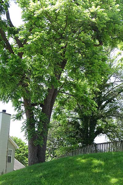
 Trees also make cities cooler which is essential for community health. Shaded areas can be anywhere from 7 to 14 degrees cooler. But not everyone has equal access to the benefits of shade from trees. In a study of 14 communities GIC studied, we found that the greater the percentage of people of color or the lower the median household income, the less tree canopy and greater the average surface temperature. So when we plan for urban trees we also need to think about tree equity too. To learn more about how trees help us beat the heat .get our tree planning and planting guide!
How do we plan for urban forests?
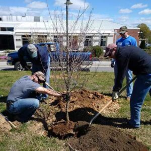
Planning for urban forests involves mapping tree canopy cover, determining how much open space is available to plant new trees, how many trees can be fitted into the landscape and setting a goal for canopy cover for the future. If cities do not have goals and plans to maintain tree cover, then it likely will decline over time.
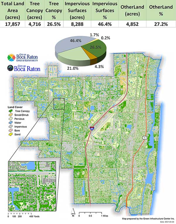
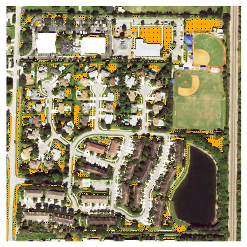
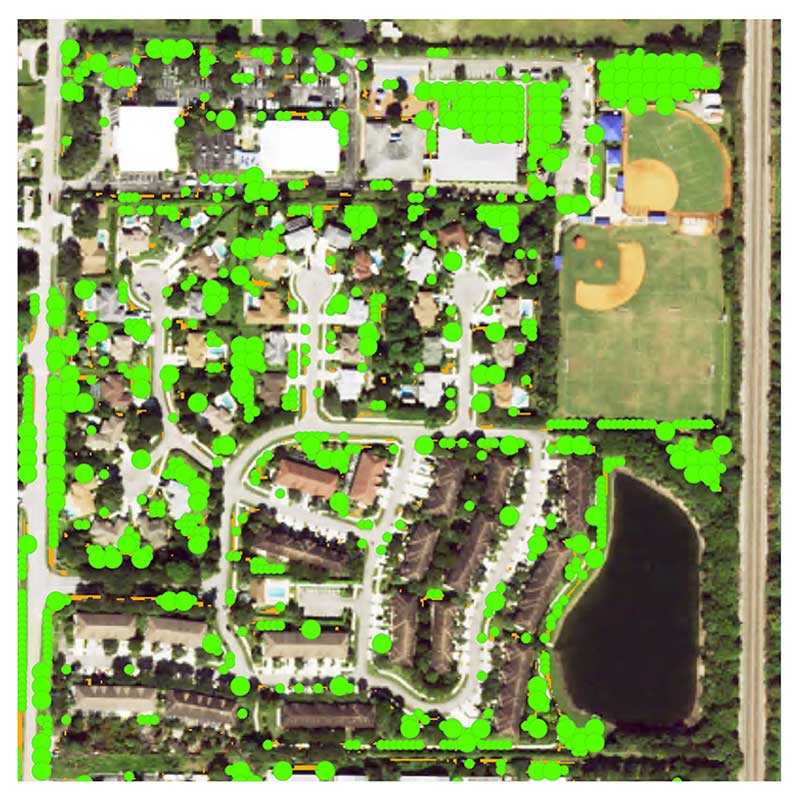
Mapping the Tree Canopy and Planting Spots
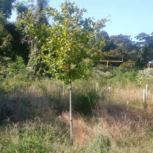
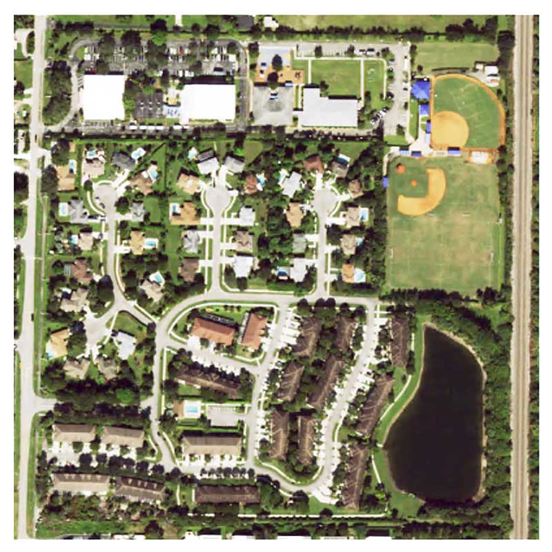
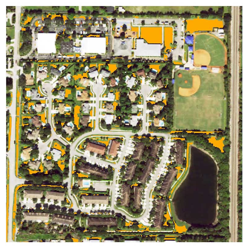
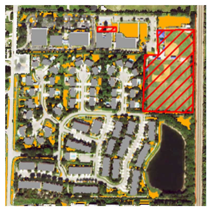
We use imagery from the National Agricultural Imagery Project (NAIP) (see tabs below) to analyze what area of landcover is actually made up of trees in a given area such as a town, city or county. We use other diagnostic tools such as Feature Analyst or LiDAR to determine shape and heights of vegetation so as not to confuse bushes as trees. We also map open spaces such as lawns or bare earth to see where new trees can be planted.
Click each tab below to view the mapping of potential planting areas.
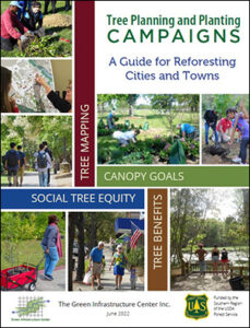 To learn more about how we do this work and ideas for how to get more trees planted in your community download our free Tree Planning and Planting Guide. Our tree campaign guide is based on 15 years of testing and has all the arguments and methods for citizens and policy makers to break through; moving from wishes to direct action. This guide features our work and your work too! Funded by the USDA Forest Service, our guide highlights the best methods, tools and tips from community-based urban forestry groups. It also explains how to convince local officials, community members, your supervisor or your neighbors why and how to plant more trees and prevent more trees losses. It also tackles mapping urban heat islands, working in diverse communities and using the right data to make the case for urban forests! It’s free and worth a read! You will find practical advice from our decades of urban forestry work.

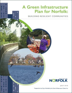 A Green Infrastructure Plan for Norfolk
 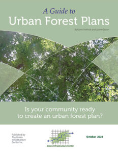 A Guide to Urban Forest Plans
 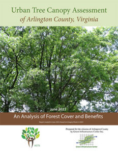 Arlington Tree Canopy Assessment
 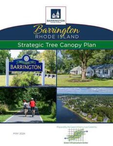 Barrington RI Strategic Tree Canopy Plan
  Belle Glade Tree Canopy Report
  Boca Raton Tree Canopy Assessment
  Boynton Beach Tree Canopy Assessment
  Bristol RI Strategic Tree Canopy Plan
 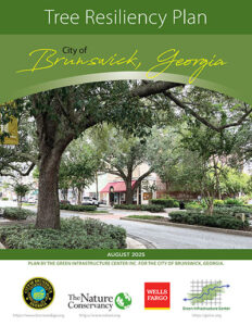 Brunswick Tree Resiliency Plan
 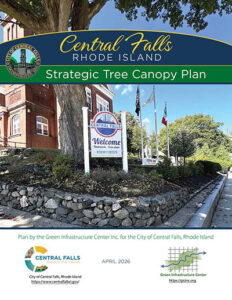 Central Falls Tree Canopy Plan
 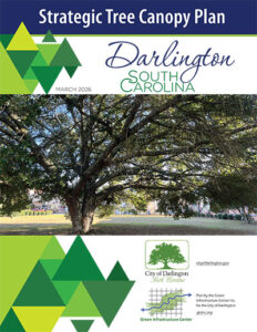 Darlington Tree Canopy Plan
 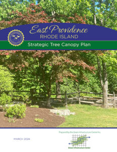 East Providence Strategic Tree Canopy Plan
  Georgia Urban Tree Standards Manual
  Hopewell Strategic Tree Canopy Plan
  Jersey City Tree Canopy Assessment
  Kershaw Strategic Tree Canopy Plan